


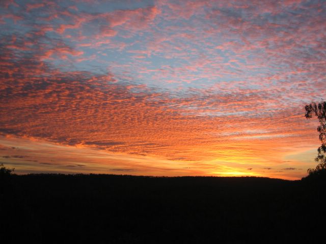
MMMmmm pretty.

 This is the shot I have been trying and trying to get...I finally got it! I wanted to do this with Uluru so that stripes of stars would be surrounding the giant rock at night, unfortunately I've never held the shutter open long enough. This shot was taken using 100 ASA film (very slow speed) with the camera on a stand. The shutter was held open for between 10 and 15 minutes turning night to day but leaving behind a stunning array of stars.
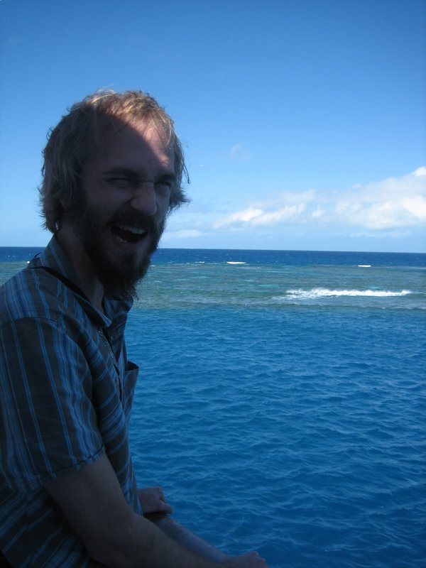
 We now ask that you travel back in time with us, not long ago, on a planet not very distant at all, in fact closer than you can imagine, Nico and Damo hit the Great Barrier Reef. Well, not hit it, but took a three hour boat tour (egads, first warning) out through inclemant seas to the Great Barrier Reef.
 several passengers were delicately grasping barf bags in the rear of the
 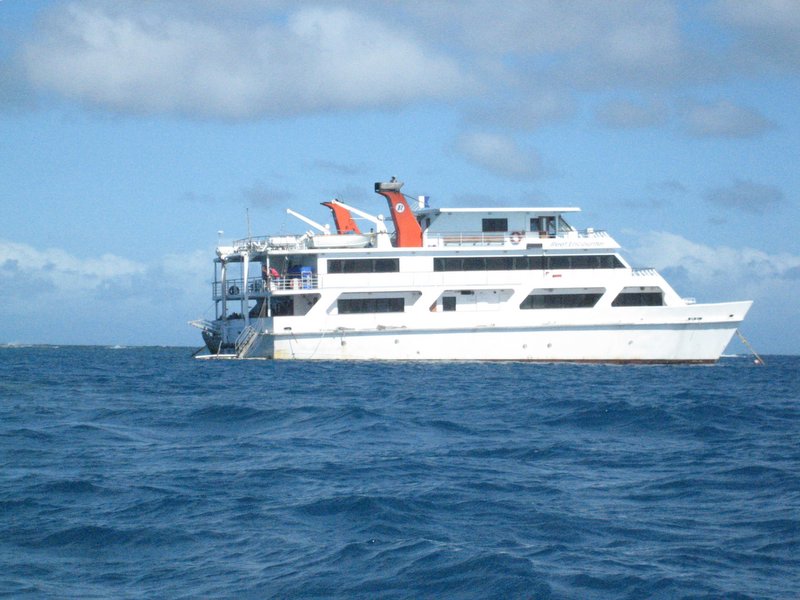 vessel (a reenactment of what this looks like is to the right.) Fortunately for us, this old crappy boat was not our final destination. Our final destination was The Reef Encounter, a live aboard pontoon boat for an overnight stay on the reef....it even had a hot tub to warm up after snorkelling or scuba diving.

 All these buildings still remain in varying degrees of disrepair - some fully maintained (like the penetentiary in which we stayed the night) and some just bricks strewn across the landscape. From the base in Darlington (the old village) one can hike to goregous views in just a few minutes without running into another soul. It truly is stunning.
 The painted cliffs are a short 45 minute hike from the main encampment and offer amazing views of Tasmania's coastline (not to mention the painted cliffs themselves.) The best part of Maria Island is the solitude you can experience by hiking a few kilometers from base camp.


 On January 17, 2006 we hit the Shipwreck Coast along the Great Ocean road. The first part of the trip we did a major hike to access a couple of shipwrecks (Nico already mentioned earlier) at Moonlight Head - the Fiji (1891) and Marie Gabrielle (1880.) All that's left of either wreck are the anchors. The sign claims it's 366 steps but we counted and they lied. It's really 380. Because of the long hike and the inaccessibility of Moonlight Head (only accessible via a long dirt road) we only saw three other people our entire time on the beach. The beach is dotted with rocks and you have to be careful navigating the rock shelves.
 To combat the phenomenon of wrecks a lighthouse was erected at the northern tip of the Eye of The Needle - an 84 KM gap between King Island and Cape Otway - in 1848 (nearly 50 years after the first ship entered the straight.) How can an 84 KM gap be called the eye of the needle? Well, if you think about it in nautical terms (1000's of KMs) 84 KM is a tiny space to fit a boat through without hitting something in the dead of night and without
  modern technology.
 January 16th-18th
 The anchor is from a shipwreak of the Marie Gabrielle in 1880, one of two wreaks at Moonlight Head and among oodles of others along this stretch of coast. We walked down and up 380 steps to get down to the beach!
 The limstone cliffs are at Loch Ard Gorge and the rock formations are the remains of the Twelve Apostles (apparently in this story the apostles are picked off one at a time instead of Jebas - only 7 or so are left.) It's still so pretty!


